 GPXdrone
Create a 3D GPX Flyover
Relive your route from the air. A GPX flyover replays your hike, ride or run as if a drone had followed you the whole way — real terrain, real satellite imagery, a camera that trails the route rather than a flat line on a map.
Upload your GPX file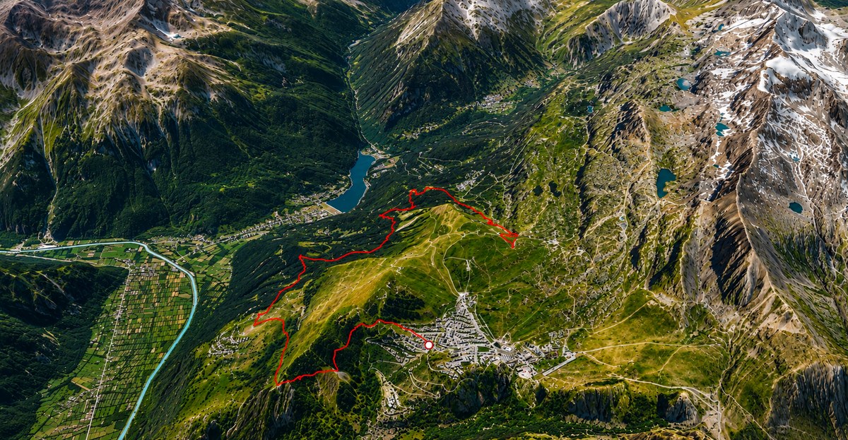
Paced like an actual flight, not a jump from point to point
GPXdrone replays a route at a steady cruising pace based on distance covered, rather than strictly following the original timestamps — a real hike or ride usually has long pauses (photo stops, breaks) that would otherwise stall the flyover just as long. The result plays like a continuous flight over your route, start to finish.
An elevation profile you can scrub through
A live altitude band tracks the climb and descent as the flyover plays, and doubles as a scrubber — drag it to jump anywhere along the route and watch the drone marker (and the camera) follow instantly.
Trim the parts you don't want
Cut out a slow section or a wrong turn directly on the elevation band, CapCut-style — the two remaining ends are stitched back together with a smooth straight-line crossing at the same cruising speed, not an instant jump cut.
Three lighting moods
Day, foggy or evening — set the mood of the flyover before replaying or exporting it as a video.
Frequently asked questions
What is a GPX flyover?
A GPX flyover is a 3D animation that replays a GPS track as if a drone had followed the route, over real terrain and satellite imagery, rather than a static line on a map.
Do I need a real drone?
No — GPXdrone generates the flyover entirely from your GPX file. No drone, footage or special equipment is needed.
Can I create a flyover from a hiking route?
Yes — any GPX track works, including hiking, trail running and cycling routes, not just drone flight logs.
Explore GPXdrone